A rock shelter in northern Australia held a discovery that forced scientists to overhaul their understanding of human prehistory: stone tools buried in soil dated to 65,000 years ago. The find, at a site known as Madjedbebe in the Northern Territory, proved humans reached Australia thousands of years earlier than the long-accepted estimate of around 50,000 years ago. The dating presented an immediate problem for researchers. Even at the height of the last ice age, when global sea levels dropped by more than 120 meters, Australia was never connected to mainland Asia by a land bridge.
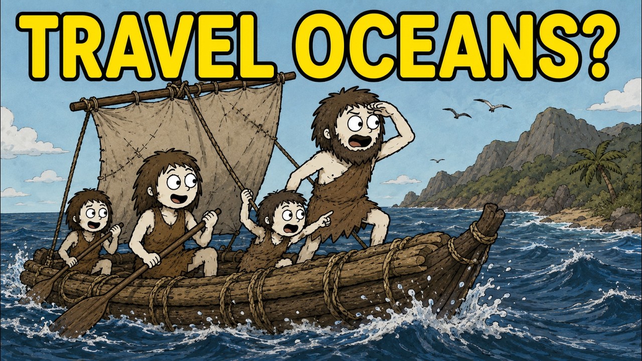
Deep ocean trenches between the two landmasses never closed. Whoever made those tools had to have crossed open water. Somebody built a boat 65,000 years ago using stone implements. Archaeologists had long assumed that human expansion out of Africa was almost entirely a story of walking—slow movement across land bridges and open grasslands.
That model collapses at the water’s edge. The melting of glaciers had locked up vast amounts of water, lowering sea levels and exposing coastlines now submerged, but the passage from Southeast Asia to Australia remained a genuine marine crossing. Between the two lies a region known as Wallacea, named after British naturalist Alfred Russel Wallace. Its biological peculiarity is striking: islands on the western side, like Bali and Borneo, harbor Asian species such as tigers and elephants, while those to the east, like Flores and Sulawesi, are home to marsupials and giant lizards.
The deep ocean between the zones never closed, even during ice ages, meaning large terrestrial animals could not cross it. Humans evidently did. No ancient boat from that era has ever been found. Materials such as wood, bamboo, reeds, and animal hides rot within centuries, especially in tropical conditions.
Researchers have therefore reconstructed what these early vessels might have been like by working backwards from available materials. Giant bamboo, which grows across the region and features sealed internal chambers that preserve buoyancy, is considered the strongest candidate. Lashings would likely have been made from rattan, a tough climbing palm. Experimental voyages under the First Mariners project have since shown that bamboo rafts can successfully negotiate the challenging currents of Wallacea.
The precise methods and motivations behind these early crossings remain unknown. Some researchers have suggested that Homo erectus may have made water crossings as early as 800,000 years ago, based on stone tools found on Flores. The debate over when modern human cognition emerged adds further uncertainty. What the Australian evidence suggests is that maritime thinking—understanding that water can be crossed rather than avoided—is far older than many models have allowed.
The earliest maritime migrations were likely cautious and incremental. Coastal communities followed shorelines, moving from headland to headland over generations, rarely venturing far from land. The ocean edge provided shellfish, crabs, fish, and seabirds, making it one of the richest food environments available. The critical transition occurred when communities encountered gaps in the coastline.
On clear days, the next island was sometimes visible on the horizon; the destination was comprehensible, the crossing frightening but possible. Some voyages, however, went beyond the range of simple island hopping. People reached islands that were never visible from other islands, across open water with no land in any direction. Explaining these crossings requires something more sophisticated than coastline following—a system of reading the ocean itself as a source of information.
Traditional navigators of the Marshall Islands could detect the presence of islands far below the horizon by reading the interference patterns of ocean swells, which bend around land and create a distinctive crisscross of disrupted water. Water color offered another clue: as the seafloor shallows, deep ocean blue lightens to turquoise, then pale green. Floating debris carried by rivers from land indicated both direction and distance. Bird behavior may have been the most reliable indicator—seabirds roost on land at night and fly out to sea to feed by day, making their late-afternoon flight paths a dependable compass.
Cloud formations completed the system. Heat radiating from islands causes air to rise and condense into stationary clouds, often with flat bottoms and vertical columns, marking land below. At night, bioluminescent lagoons sometimes reflected a faint green glow onto the undersides of these clouds. None of these techniques required instruments.
All required years of patient observation and a cultural tradition of recording and transmitting knowledge. After dark, the sky took over. Stars rise in the east and set in the west at consistent points on the horizon throughout the year in the tropics. Navigators in the Caroline Islands of Micronesia developed a star compass dividing the horizon into 32 points, each named after a star.
By memorizing which star rose over a destination, a navigator could hold a course across hundreds of kilometers of open ocean. The knowledge was not written down; it existed inside human minds, transmitted through oral tradition, song, and physical models made from sticks and shells. Timing was as important as direction. Tropical oceans are governed by predictable seasonal wind systems, from the northeast trade winds of the North Pacific to the reversing monsoons of the Indian Ocean.
Departure was a matter of survival, not preference. Venturing out during typhoon season or against a strong headwind was fatal. Traditional maritime communities treated departure timing with the seriousness modern aviation gives to weather checks. Ocean currents provided another layer of information.
The Kuroshio Current carries vessels northeast along Japan and across the Pacific, while the South Equatorial Current flows westward. Navigators who understood these systems used them as highways; those who did not found themselves pushed miles off course into empty ocean. Traditional navigation knowledge encoded current behavior alongside star paths and swell directions, allowing skilled navigators to compensate mentally and identify their position with a reliability that astonished European sailors. Motivation remains a central question.
Population pressure offers the most straightforward explanation: islands have finite carrying capacity, and growth creates pressure to expand outward. Environmental disruption added further incentives—droughts, tsunamis, volcanic eruptions, and post-Ice Age sea-level rise displaced coastal communities and destroyed food systems. Social dynamics also played a role. In many Pacific societies, younger sons of chiefs had no claim to ancestral territory; organizing a voyage to settle a new island was the only way to become a founder, a person with land and lineage of their own.
And there was almost certainly something simpler: curiosity. The horizon is a provocation, and the people who sailed toward it were not so different in their fundamental nature from anyone who has ever stared at something unknown and decided to find out what it was. The Pacific Ocean covers more than 165 million square kilometers—larger than all Earth’s landmasses combined. The western Pacific, from New Guinea east to Fiji and Tonga, was settled by at least 3,000 years ago.
The eastern Pacific—Hawaii, Easter Island, New Zealand, Tahiti—was reached far more recently. In a period of extraordinary expansion beginning around 1,000 years ago and extending to roughly 700 years ago, Polynesian navigators discovered and permanently settled nearly every habitable island in the eastern and central Pacific. It ranks as the greatest feat of navigation in human history before modern instruments. The double-hulled voyaging canoe was the technological breakthrough that made this expansion possible.
The design solved the trade-off between stability and speed by lashing together two complete hulls with a raised platform spanning the gap. The resulting vessel was radically stable and could carry substantial cargo—taro plants, seed crops, pigs, dogs, chickens, gourds of fresh water, and dried food—without capsizing. The distinctive crab-claw sail performed well when sailing across or slightly against the wind, making intentional return voyages possible. The largest canoes carried 60 or more people and were built entirely with stone adzes; no metal was available.
Locating a small island, some barely a kilometer across, in thousands of kilometers of ocean required the strategy of target expansion. Nesting birds flying out to feed in the morning and returning at dusk expanded a small island’s detectable radius from roughly a kilometer to 50 kilometers. Approaching land also produced changes in water color, swell patterns, and debris concentration. Experienced navigators read these converging signals automatically, using multiple redundant systems that cross-checked one another.
A voyage lasting three weeks or more was as much a logistical challenge as a navigational one. A crew of 20 required a minimum of 840 liters of fresh water, stored in sealed gourds, bamboo tubes, and green coconuts. Rain collection from sail surfaces supplemented the supply. Food was preserved through drying and fermenting: taro pounded into a dense paste called poi, dried fish and meat for protein, roasted and compressed breadfruit.
Live animals required feed, water, secure stowage, and waste management to protect the fresh water supply—and they needed to survive in good enough condition to serve as breeding stock at the journey’s end. Not every voyage succeeded. Oral records are threaded with accounts of canoes swallowed by storms, crews drifting for weeks, expeditions that simply vanished. In 1978, the Hokuleʻa, a modern replica of a traditional Hawaiian double-hulled canoe, capsized in heavy seas in the Kaiwi Channel on its way to Tahiti.
The crew survived by clinging to the upturned hulls, but legendary Hawaiian waterman Eddie Aikau, fearing help might not arrive in time, paddled away on his surfboard toward Lānaʻi to seek assistance. He was never found. Ocean voyaging was never exclusively about finding new land. For many communities, it was the foundation of trading networks connecting distant islands.
Obsidian from volcanic sources in the Bismarck Archipelago has been found on islands more than 3,000 kilometers away. Shell valuables, fine stone tools, bark cloth, and later pottery moved through similar networks. Knowledge—techniques for growing crops, methods for building structures, ceremonial practices, genealogical histories—moved with the goods. The sea was a highway in the most functional sense: a route connecting people who had reasons to stay connected through arranged marriages, political alliances, and sustained obligations.
Modern science has assembled a powerful toolkit for investigating these migrations. Genetic analysis of mitochondrial DNA traces maternal lineages and has confirmed the broad outlines of Polynesian expansion, identifying the Bismarck Archipelago as the likely homeland of Pacific-wide dispersal. It has even detected evidence of contact between Polynesian voyagers and the indigenous peoples of South America. Archaeobotanical analysis provides independent confirmation: carbonized sweet potato starch grains recovered from prehistoric Polynesian sites predate European arrival by centuries.
The sweet potato is native to South America; its presence in Polynesia before European contact requires explanation, and the most parsimonious explanation is that ancient voyagers brought it back from a trans-Pacific journey. Computer simulations using historical wind and current data consistently support the conclusion that the colonization of remote Oceania required deliberate upwind voyaging, not accidental drift. Enormous gaps remain. The physical design of the earliest watercraft that crossed Wallacea 65,000 years ago is entirely unknown; no hull fragments, no boat-building tools, no rope or bindings have survived.
The exact routes of Pacific migration are still debated. And an unknown quantity of evidence is simply gone. Rising sea levels that followed the end of the last Ice Age inundated vast stretches of formerly inhabited coastlines. The shorelines where the earliest maritime communities lived and launched their boats now lie under tens of meters of ocean.
There is a tendency when telling this story to focus on the boats. They are tangible—they can be rebuilt, replicated, sailed, and tested. But the boat was only the tool. The real technology was knowledge.
Ancient navigators possessed a cognitive system of extraordinary complexity, a mental model of the ocean encoding thousands of observations about stars, swells, winds, currents, birds, water color, and clouds. This knowledge was not written down and could not be stored in a library. It existed inside human minds, transmitted through generations of apprenticeship and oral tradition, treated with the same seriousness as any essential technology. In the 1960s and 70s, researcher David Lewis traveled through the Pacific documenting the navigation techniques of traditional voyagers, some of whom still possessed the old star compasses and swell-reading methods.
His work preserved techniques on the verge of being lost entirely. Today, the Polynesian Voyaging Society in Hawaii uses Hōkūleʻa, navigated using traditional methods, to sail regularly between Pacific island groups. Since 1976, when it first sailed to Tahiti under the guidance of master navigator Mau Piailug from Micronesia, the canoe has covered hundreds of thousands of kilometers, demonstrating that the ancient voyages were not lucky accidents but the product of a sophisticated tradition deserving recognition alongside any other great achievement in the history of human technology. The name of the first person who looked at the horizon from a beach in Wallacea 65,000 years ago and decided to build something that would float is gone.
Their language and face are gone. But their decision is everywhere: in every island culture that exists today, in every crop that grows on Pacific soil, in every human being whose ancestors crossed water to be somewhere they had never been before.